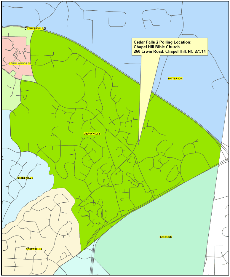
Precinct Boundary Description:
Starting at the intersection of I-40 and Sunrise Rd. following the center line of I-40 east to its intersection with the Orange/Durham County line, then south following the county line to its intersection with U.S. 15-501. Then southwest following the center line of U. S. 15-501 to its intersection with E. Franklin St. Then following the center line of E. Franklin St. to its crossing of Booker Creek. Then following Booker Creek upstream to the base of the dam of Eastwood Lake. Then following the east shore of Eastwood Lake to the inlet of Cedar Fork. Then following Cedar Fork to its crossing of N. Lakeshore Dr. Then following the center line of N. Lakeshore Dr. to its intersection with Brookview Dr. Then following the center line of Brookview Dr. to the intersection of Kenmore Rd. Then following the center line of Kenmore Rd. to its intersection with Cedar Fork Tr. Then north following the center line of Cedar Fork Tr. To its intersection with Weaver Dairy Rd. Then east following the center line of Weaver Dairy Rd. to its intersection with Sunrise Rd. Then north following the center line of Sunrise Rd. to its intersection with I-40.
